Tree Planting and Maintenance in Tahura Sultan Syarif Hasyim
A two-phase programme combining tree planting, monitoring, maintenance and replacement planting across three hectares of Tahura Sultan Syarif Hasyim.


A two-phase programme combining tree planting, monitoring, maintenance and replacement planting across three hectares of Tahura Sultan Syarif Hasyim.

Clean-water infrastructure for 60 households in Lubuk Bigau and improved water and sanitation facilities serving 104 students and teachers at SMP Negeri Satu Atap Tanjung Sari.
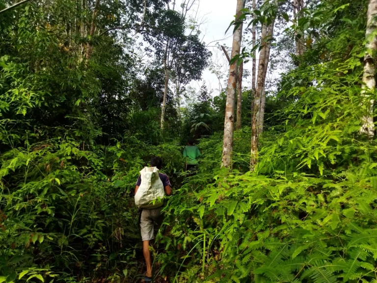
A livelihood and river-conservation initiative that tested local essential-oil materials, strengthened community enterprise skills and linked fish restocking with customary river stewardship in Lubuk Bigau.
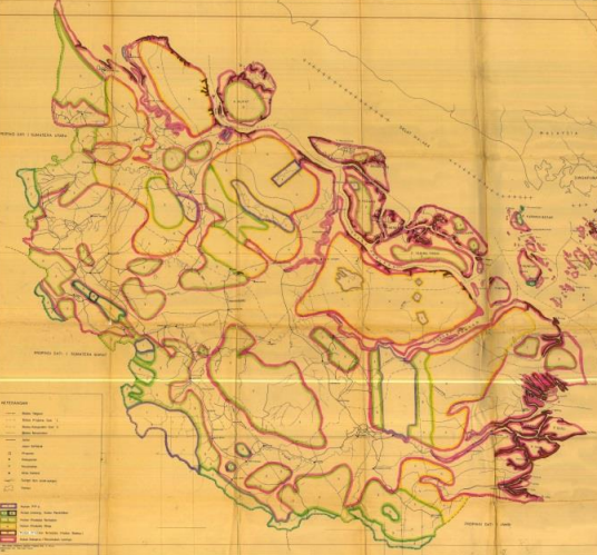
A 2016-2017 collaboration that consolidated 67 geospatial datasets, prepared metadata and applied a forest-area analysis method in Siak and Pelalawan.
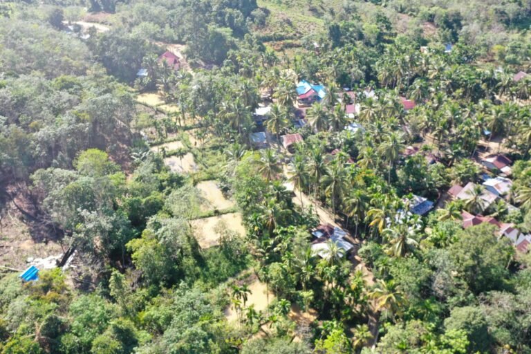
An integrated village programme combining environmental monitoring, education, local enterprise, spatial planning and visitor infrastructure in Lubuk Bigau.
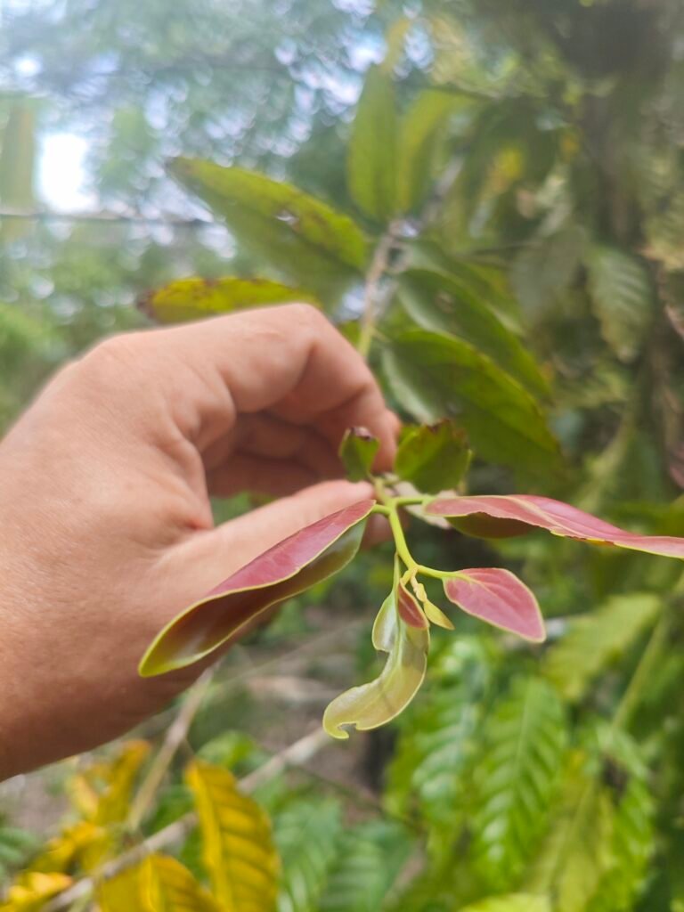
A community-based ethnobotanical study documenting 95 medicinal plant species and 55 traditional medicinal preparations in Lubuk Bigau.
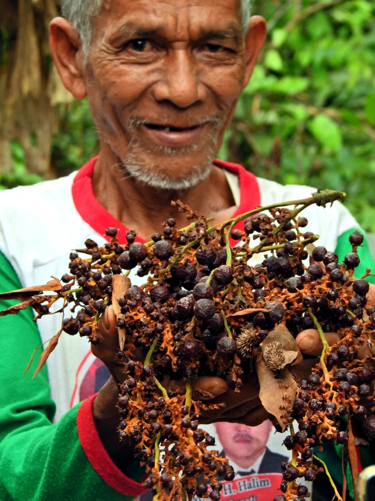
Community mapping, forest-management support and jernang-based livelihood development with groups in Bukit Batabuh, Singingi.
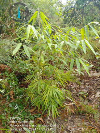
Hutanriau planted 1,000 bamboo stems across 10 ha in Tahura Sultan Syarif Hasyim, recorded 76% survival in an initial census, and added 150 forest-fruit plants to a one-hectare collection block.
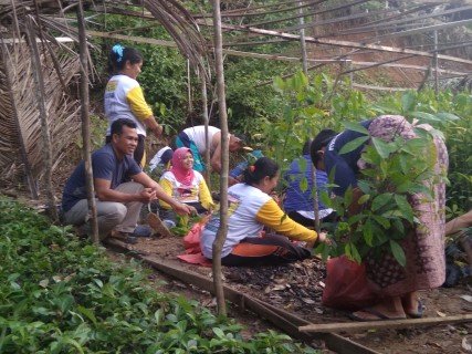
Hutanriau accompanied 29 community groups across 11 villages through planting and maintenance phases within an 8,750 ha rehabilitation programme in KPH Singingi.
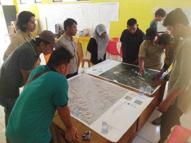
Participatory land-use planning in six locations across Riau and West Sumatra, combining community knowledge with spatial analysis and locally discussed development priorities.