used for community-based wildlife monitoring
Biodiversity Monitoring and Wildlife Coexistence, Forest-Compatible Livelihoods and Community Enterprise
Integrated Village Development for a Sustainable Lubuk Bigau
An integrated village programme combining environmental monitoring, education, local enterprise, spatial planning and visitor infrastructure in Lubuk Bigau.
Project overview
Project Overview
Hutanriau implemented an integrated village development programme in Lubuk Bigau across three interconnected pillars: environment, education, and local economic development.
The programme supported participatory spatial planning, wildlife monitoring, trekking routes, ecotourism facilities, school computers, tourism-guide training, gambir-processing equipment, and public promotion of the village’s natural and cultural assets.
Together, these interventions established practical foundations for a more sustainable Lubuk Bigau by connecting village planning, community capacity, education, local livelihoods, and stewardship of the surrounding forest landscape.
Project snapshot
At a glance
provided for village education facilities
completed practical guiding training
installed to support product development
Why this work mattered
Project Context
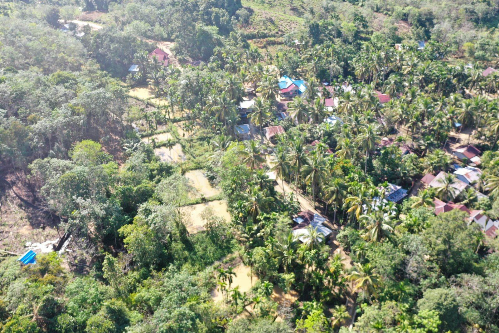
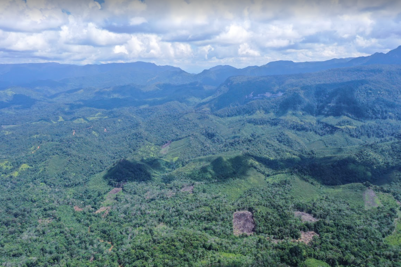
Lubuk Bigau is a remote village in Kampar Kiri Hulu, Kampar Regency, surrounded by tropical forest, rivers, waterfalls, and community production landscapes. The village lies within the buffer landscape of the Bukit Rimbang Bukit Baling Wildlife Reserve and holds significant natural, cultural, and livelihood potential.
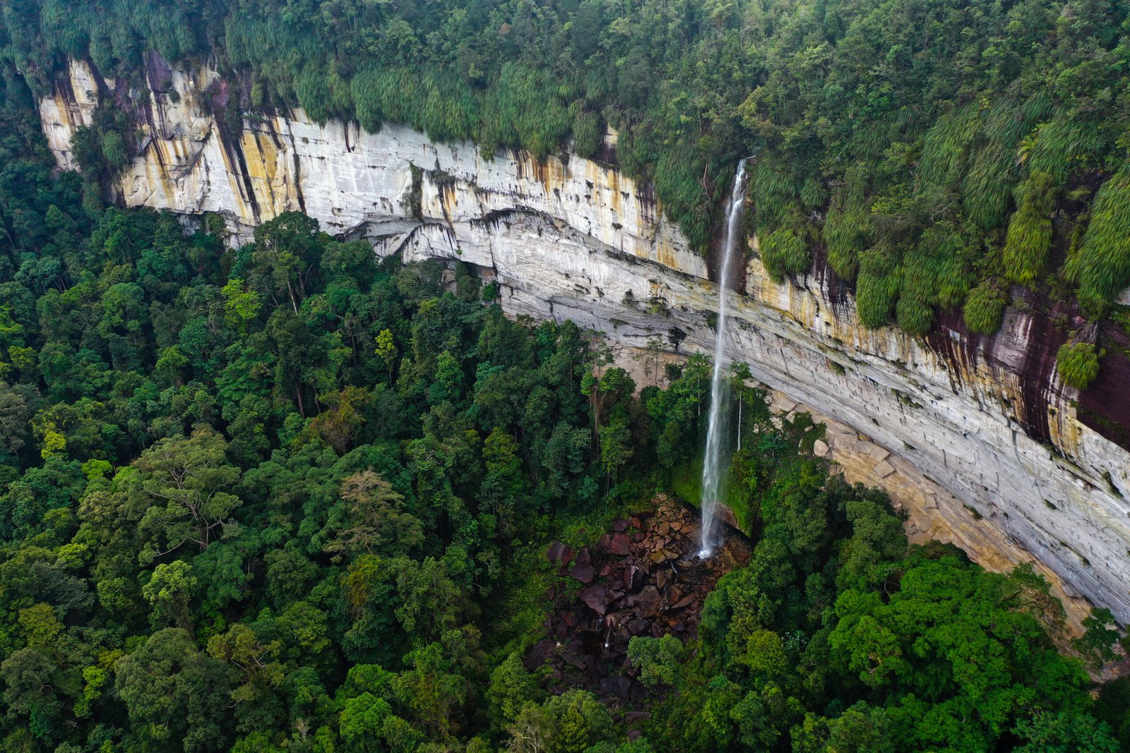
The village is known for more than twenty waterfalls, although only a small number were widely recognised by visitors. These include Batang Kapas, Jonjang, Mudiak Topuak, Lubuk Godang, and Lubuk Ngalau. Batang Kapas is described in the project report as one of the highest waterfalls in Riau, with an estimated height of 165 metres.
Despite these assets, Lubuk Bigau faced persistent constraints, including difficult access, limited public infrastructure, restricted educational facilities, weak tourism-management capacity, limited processing technology for local products, and economic pressure on households.
The programme responded through an integrated village-development approach organised around environmental, educational, and economic pillars. Community-based tourism was one component, alongside participatory spatial planning, wildlife monitoring, education support, local capacity development, and improved gambir-processing infrastructure.
By connecting these components, the programme sought to establish practical foundations for a more sustainable village while strengthening community participation, local institutions, and stewardship of the surrounding landscape.
What we set out to do
Objectives
- Strengthen Lubuk Bigau through an integrated village-development approach.
- Promote environmental protection and responsible use of natural resources in the buffer landscape of the Bukit Rimbang Bukit Baling Wildlife Reserve.
- Prepare a participatory spatial-use plan supporting village development, community livelihoods, and environmental protection.
- Increase community capacity in tourism guiding, wildlife monitoring, programme management, and local enterprise.
- Improve access to technology and educational facilities for children and young people.
- Strengthen local gambir-processing capacity and create foundations for greater value to remain within the village.
- Develop basic infrastructure and systems supporting community-based tourism.
- Support implementation of the PLN Social and Environmental Responsibility Programme.
Delivery
What Hutanriau Did
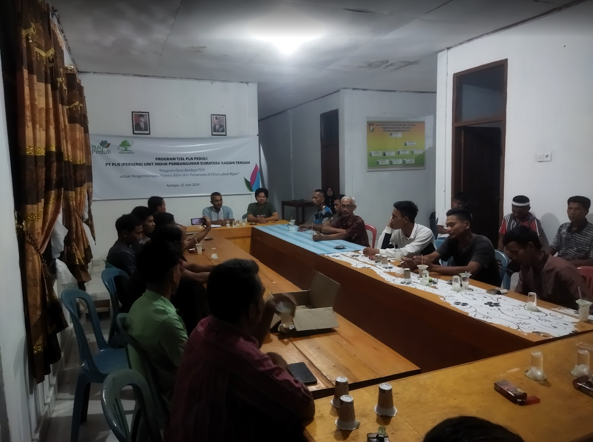
- Facilitated programme socialisation and technical discussions with the village government, customary leaders, women, youth, and community representatives.
- Prepared a participatory spatial-use plan for Lubuk Bigau Village.
- Facilitated a participatory village strategic-planning process.
- Surveyed and prepared trekking routes to Mudiak Topuak and Jonjang waterfalls.
- Supported community-initiated trekking routes to Lubuk Godang and Lubuk Ngalau.
- Collected initial information on wildlife routes and key species.
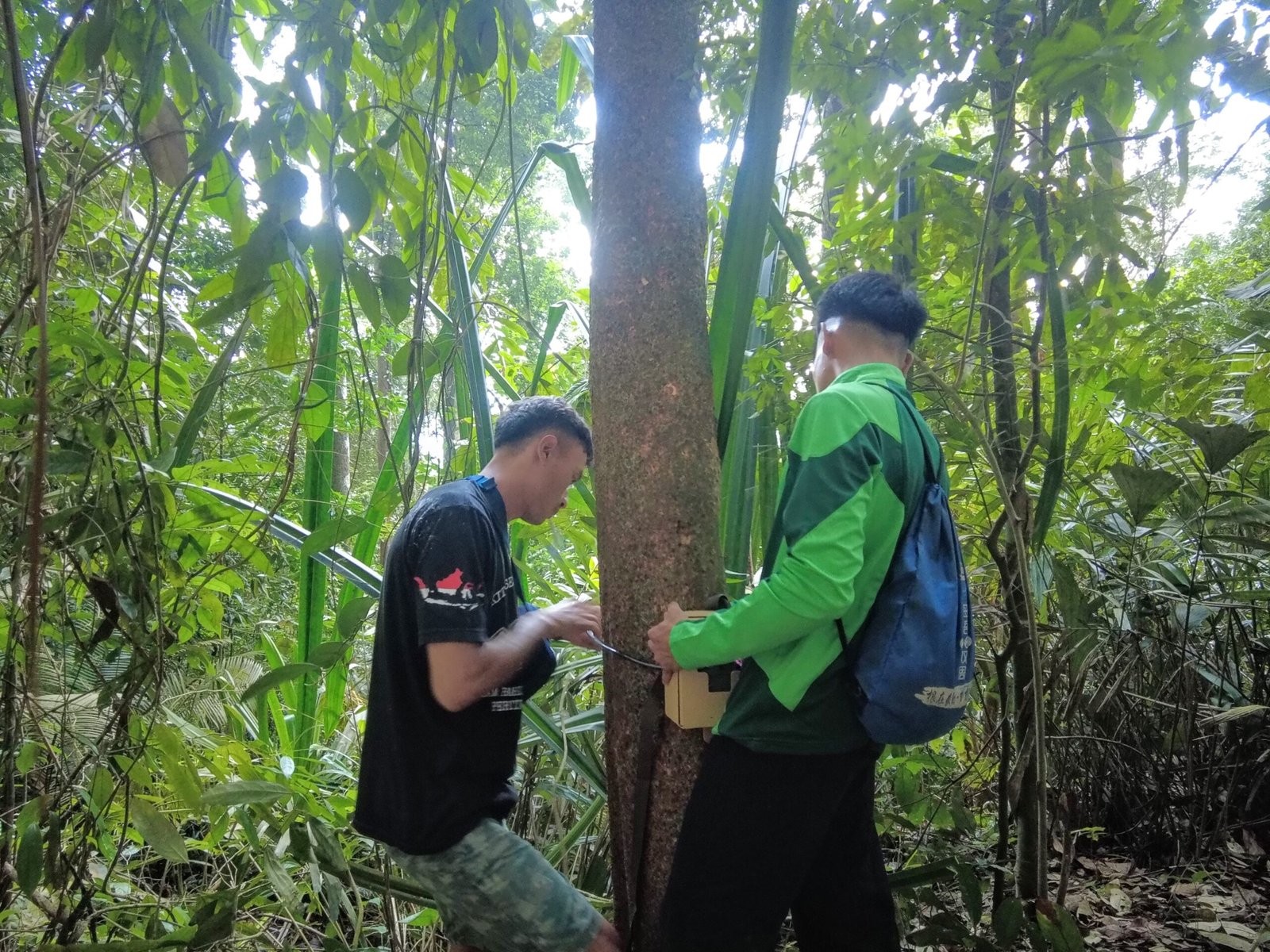
- Trained a local team in camera-trap installation, maintenance, monitoring, and data collection.
- Installed and monitored camera traps in forest areas around ecotourism sites.
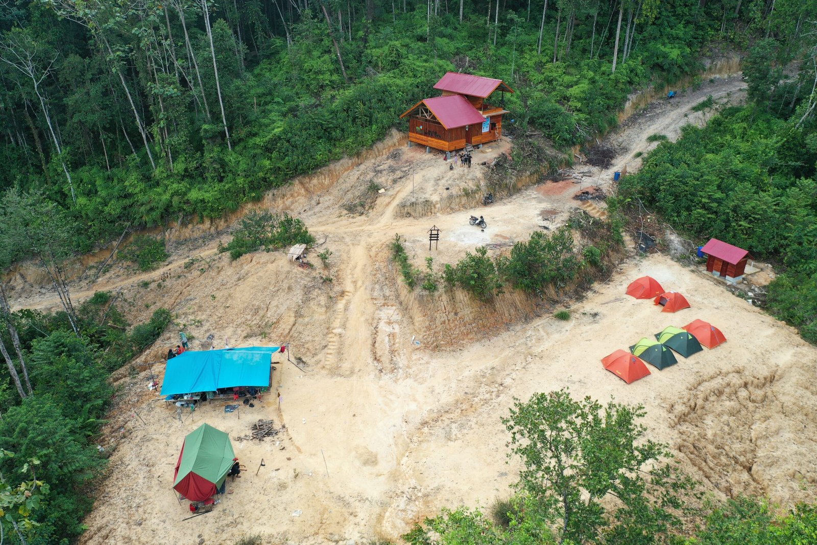
- Constructed an ecotourism shelter and separate visitor toilet facilities.
- Installed tourism signs, directional signs, warning signs, and location markers.
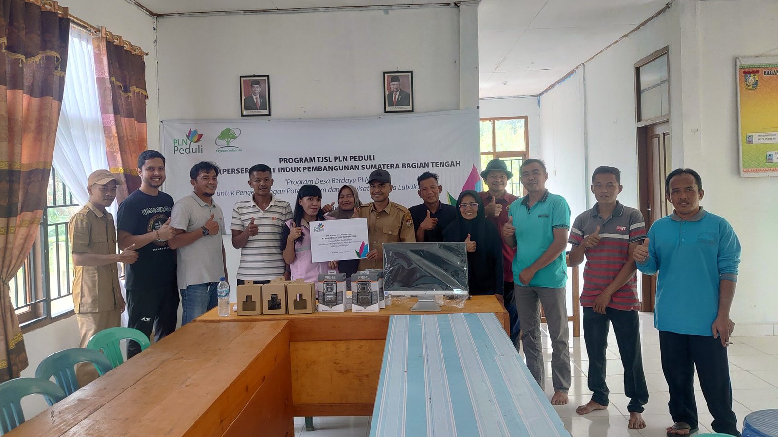
- Provided seven computers to UPT SDN 029 Lubuk Bigau.
- Delivered tourism-guide training for members of the local Tourism Awareness Group.
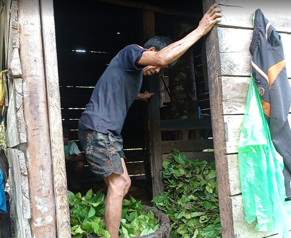
- Assessed gambir-processing practices and provided one gambir-processing machine.
- Organised an ecotourism launch and media trip.
- Facilitated participant feedback, follow-up recommendations, monitoring, administration, and reporting.
What changed and what we learned
Results and Learning
Treating environment, education and livelihoods as connected parts of village development gave the programme wider relevance than a single tourism intervention.
Community members and the village government extended the initial plan by developing two additional trekking routes through collective self-help, a documented sign of local ownership.
Camera-trap training and six monitoring visits supported local documentation of wildlife presence around the village forest and tourism areas. The records show species observed during the monitoring period, not changes in wildlife populations.
The computers, guide training, gambir-processing machine, shelter, toilets, routes and signs created practical foundations for education, enterprise and visitor management. Their long-term value depends on continued use, maintenance, market development and village-level management; income and sustained visitor growth had not been measured at reporting.
Project album
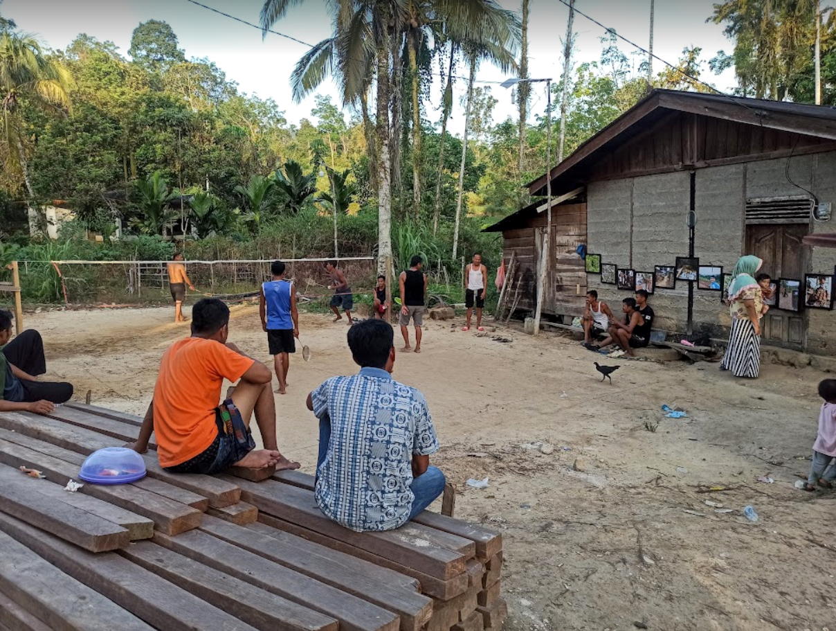
Field Documentation
Selected photographs documenting project activities, field implementation, and community participation.
Work with us
Planning locally grounded environmental work in Riau?
Hutanriau collaborates with communities, donors, government agencies, research institutions, civil society organisations, and responsible private-sector partners.