PROJECT RESULTS
Documented Project Results
This page brings together selected results recorded in Yayasan Hutanriau project reports, field records, maps and surveys. Each figure relates to a named activity, place and period. The figures are not added together because projects may cover the same areas or groups, and they do not by themselves demonstrate long-term impact.
Selected Project Records
The figures below describe project-specific activities and outputs. They are not a cumulative total for Yayasan Hutanriau.
95
Medicinal plant species documented in Lubuk Bigau in 2025
Medicinal Plant Knowledge of Lubuk Bigau
55
Traditional medicinal preparations documented in Lubuk Bigau in 2025
Medicinal Plant Knowledge of Lubuk Bigau
4
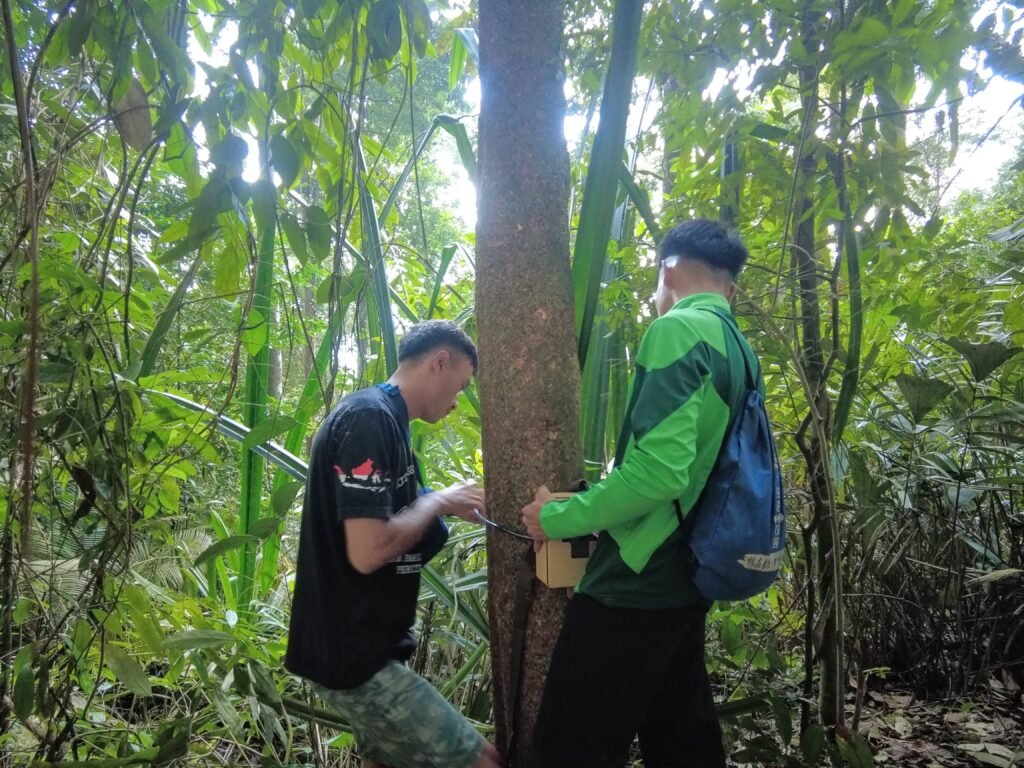
Camera traps provided for community wildlife monitoring in Lubuk Bigau in 2024
Integrated Village Development for a Sustainable Lubuk Bigau
7
Computers provided to UPT SDN 029 Lubuk Bigau in 2024
Integrated Village Development for a Sustainable Lubuk Bigau
11
Members of Lubuk Bigau’s Tourism Awareness Group trained in 2024
Integrated Village Development for a Sustainable Lubuk Bigau
1
Gambir-processing machine provided in Lubuk Bigau in 2024
Integrated Village Development for a Sustainable Lubuk Bigau
29
Community forest groups supported during an 8,750-hectare rehabilitation programme in the UPT KPH Singingi area from 2019 to 2021
Supporting Community-Based Forest and Land Rehabilitation in KPH Singingi
6
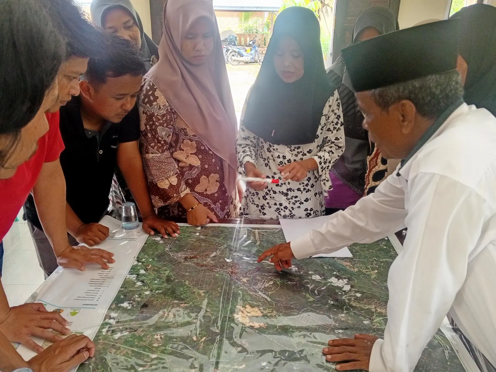
Villages and nagari involved in participatory land-use planning in Riau and West Sumatra in 2024
Participatory Land Use Planning across Riau and West Sumatra
67
Geospatial datasets collected in shapefile format for the Riau One Map programme in 2016 and 2017
Building Riau’s Geospatial Evidence Base
The figures describe what was documented in each project. They do not show whether a change continued after the activity ended unless later monitoring records are available.
REPORTING APPROACH
How We Report Results
Yayasan Hutanriau separates what a project did from what changed afterwards. The level of claim depends on the records available.
Activities and outputs
We report what was carried out or produced: maps prepared, species recorded, equipment provided, meetings facilitated and participants trained.
Observed change
Where monitoring data, interviews or administrative records show a change in practice, decisions or group performance, we describe it as a result or emerging outcome. We state who the finding covers and the period to which it applies.
Longer-term effects
We use impact only when a significant change has been sustained and supported by follow-up evidence. Most public records currently cover individual projects, so broader organisational impact has not been measured.
These categories keep activity counts separate from claims about longer-term change.
AIR BULUH, RIAU
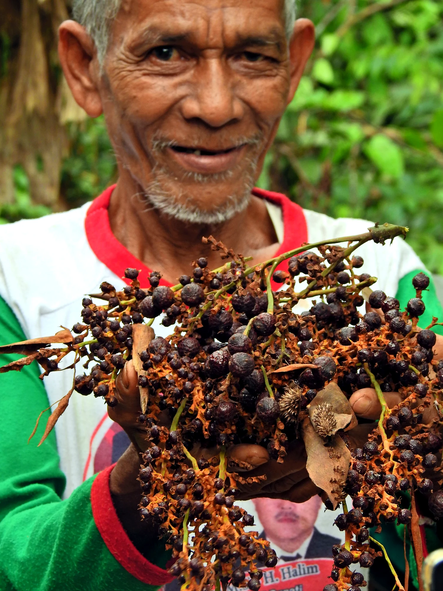
Community Forest Management and Jernang-Based Livelihoods in Bukit Batabuh
In Air Buluh, KTH Bukik Ijau works in the Bukit Batabuh area, where jernang, a rattan whose resin is known as Dragon’s Blood, grows within standing forest. Yayasan Hutanriau worked with the group and KPH Singingi on participatory mapping, social forestry preparation, jernang management and related group organisation.
Project records describe approximately 550 hectares in the mapped management area and about 30 hectares used for jernang cultivation. These figures document the area covered by the work. They do not by themselves show changes in income, forest condition or long-term management performance.
EVIDENCE LIMITS
What We Are Still Learning
Project records are strongest on activities and immediate outputs. Follow-up data are more limited for changes in income, forest condition, group performance and whether practices continue after project funding ends.
Claims are checked by tying each figure to a named project, location and period, separating targets from completed activities, and avoiding organisational totals when records cannot be combined without double counting.
PROJECT RECORDS
Read the Records Behind These Figures
Open the relevant project pages for their scope, activities, documented results and limitations.