OUR PROGRAMMES
Programmes for Land, Forests and Livelihoods
Yayasan Hutanriau’s programme areas reflect field experience in participatory mapping, land-use planning, forest rehabilitation, biodiversity monitoring, community enterprise and research. Nature finance and environmental integrity is an emerging direction rather than an established body of project results.
Six Areas of Work
These areas often overlap in practice. A project may combine mapping, coordination with local institutions, monitoring and livelihood activities. The mix depends on the site and on the roles of community groups, government agencies and other partners.
01
Land Rights, Mapping and Local Governance
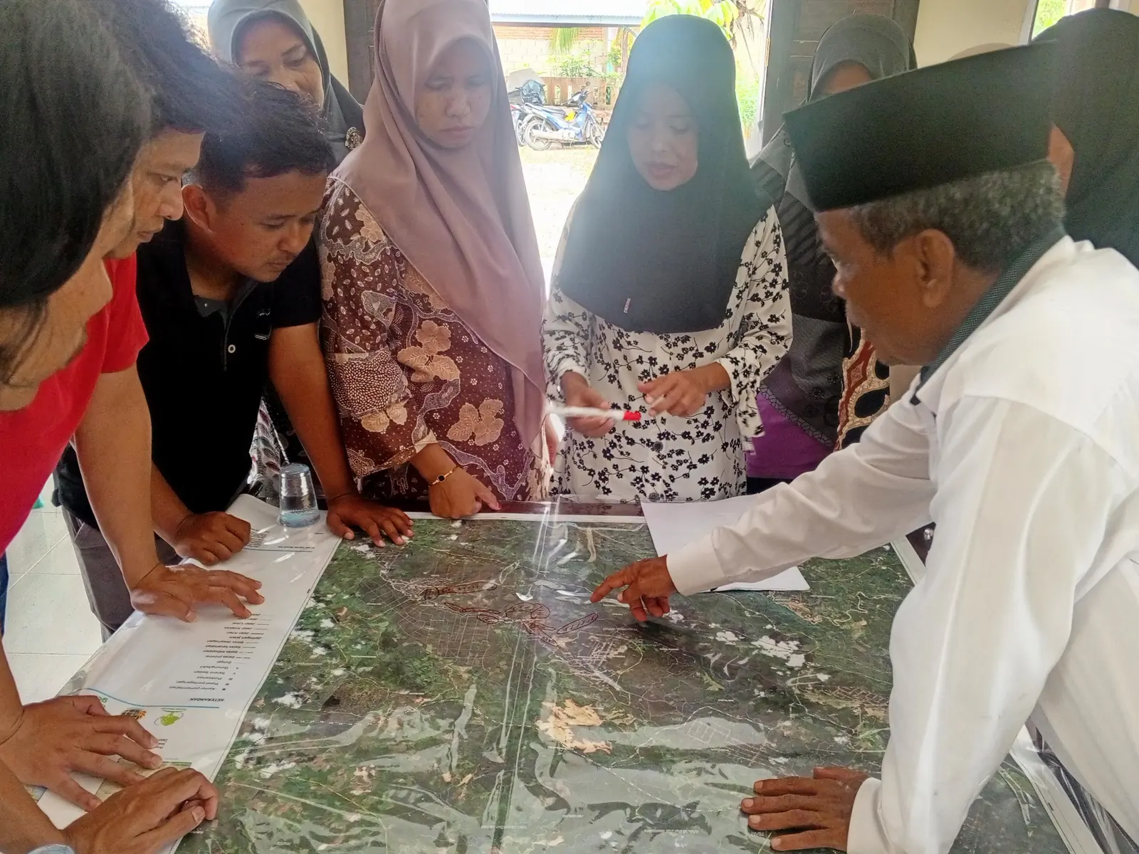
Yayasan Hutanriau facilitates participatory mapping, land-use planning and social forestry processes. Depending on the project, this may include free, prior and informed consent, work with customary institutions, village bodies and community groups, and spatial records for local decision-making.
02
Ecosystem Restoration and Climate Adaptation
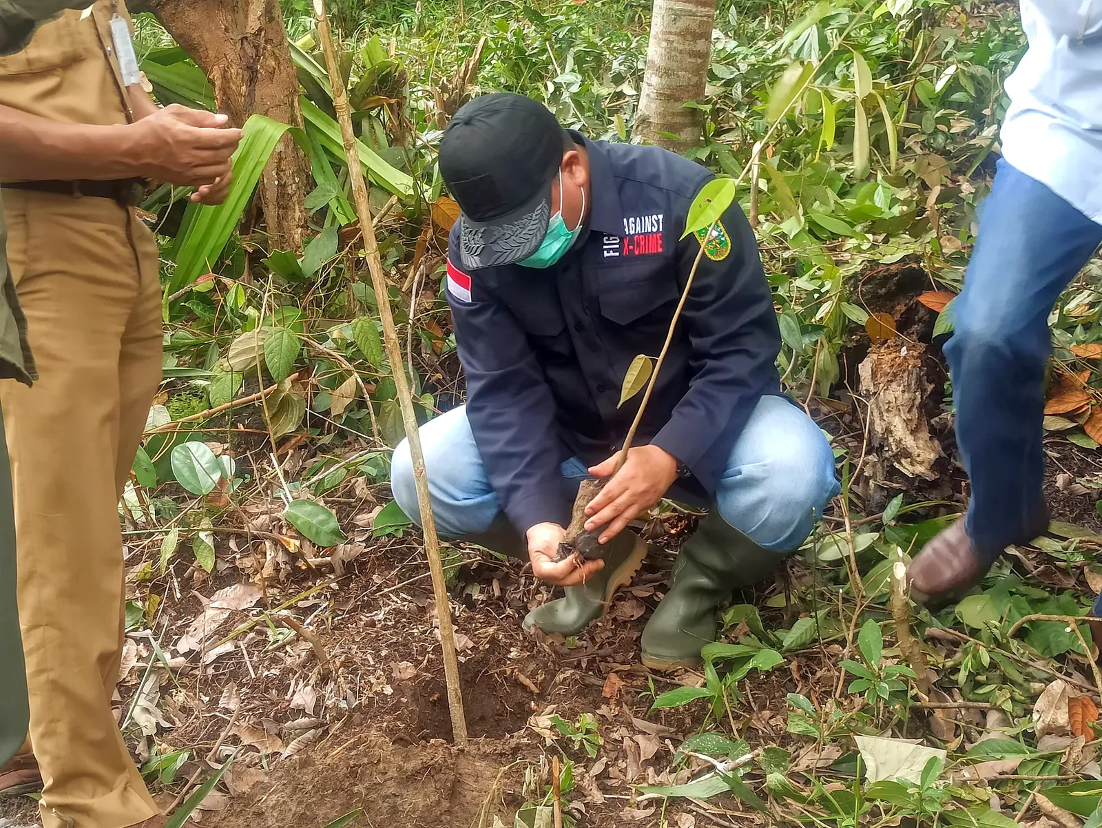
Activities include site assessment, planting, maintenance and monitoring in degraded forests, peatlands and river margins. Field activities also consider water conditions and fire risk where these affect restoration.
03
Biodiversity Monitoring and Wildlife Coexistence
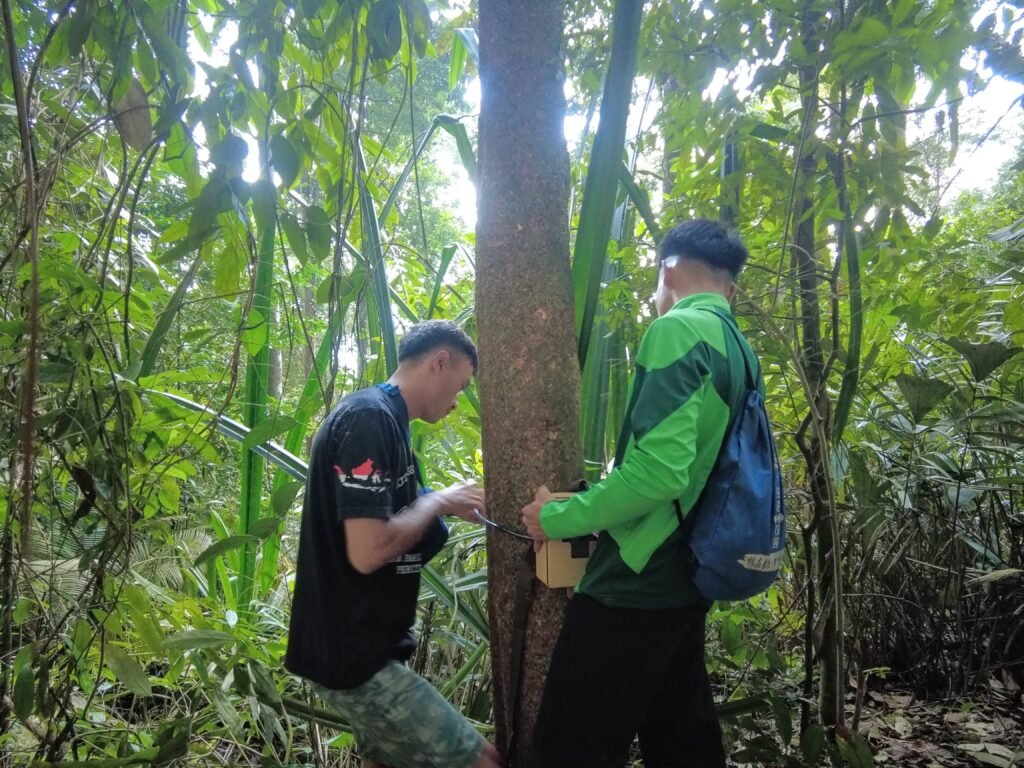
Field surveys, camera traps and community monitoring help document species, habitat conditions and interactions between people and wildlife. The methods used depend on the project question and the information available at each site.
04
Forest-Compatible Livelihoods and Community Enterprise
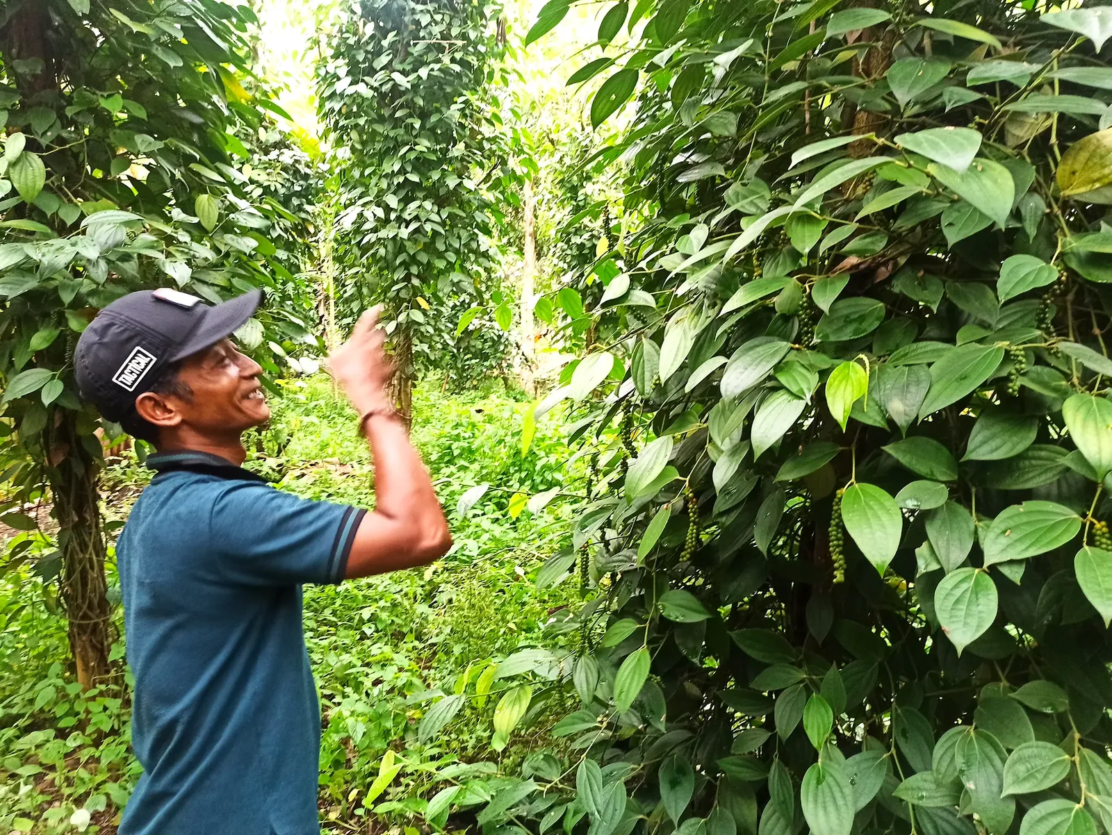
Yayasan Hutanriau works with producer groups on non-timber forest products, agroforestry, local processing, market access and group management. Activities are based on the products, skills and constraints documented in each place.
05
Local Knowledge, Research and Spatial Evidence
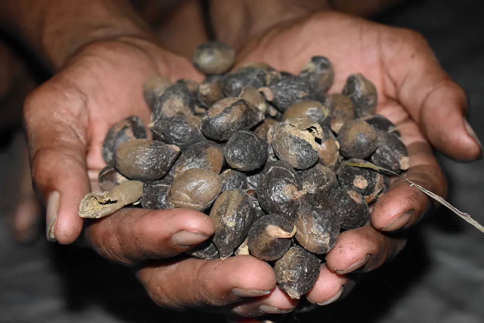
Research, participatory documentation, GIS analysis and community monitoring produce information for project decisions, public planning and policy discussions. A recent study in Lubuk Bigau also documented medicinal plant knowledge with local knowledge holders.
06
Emerging Strategic Direction
Nature Finance and Environmental Integrity
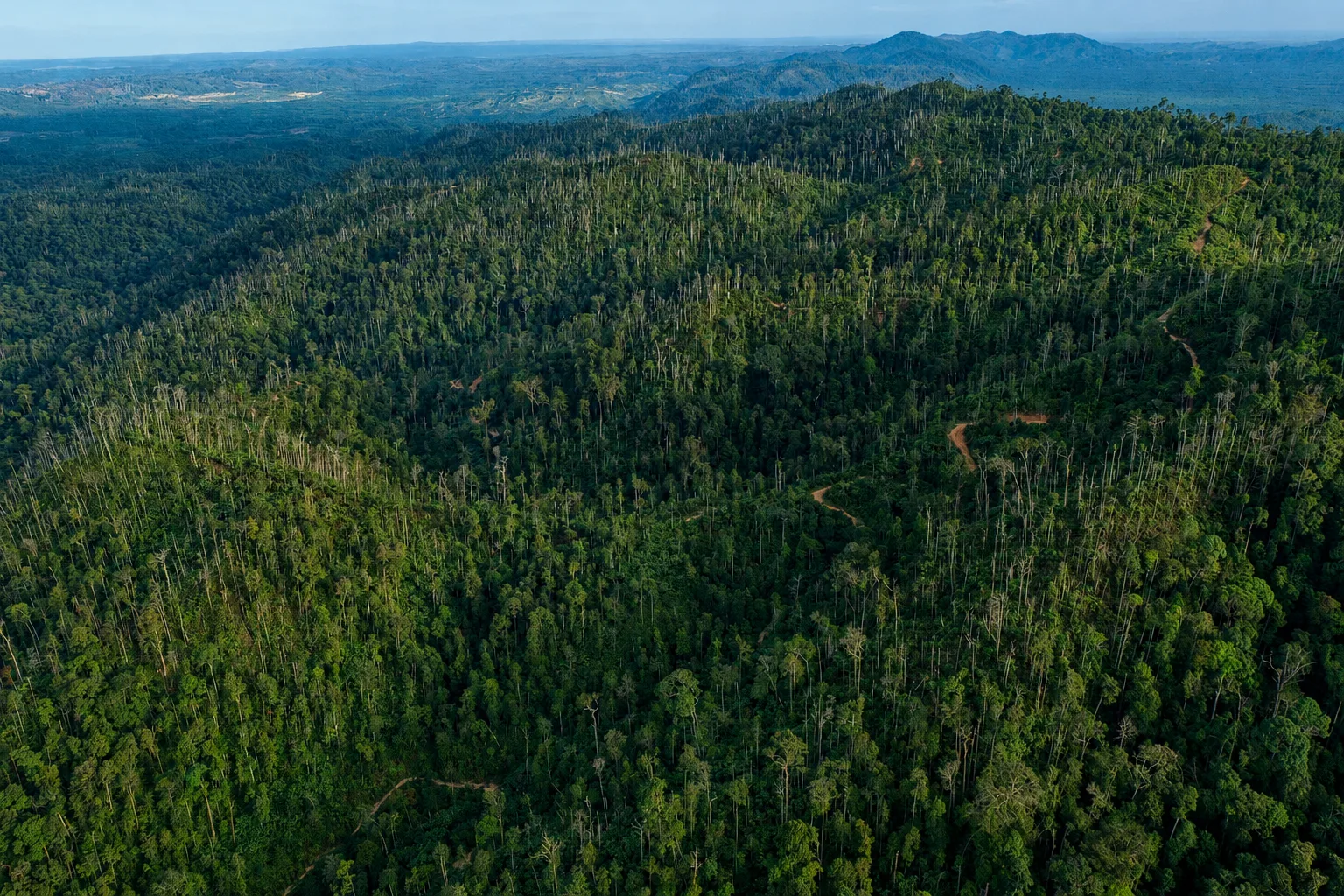
Yayasan Hutanriau is exploring the environmental baselines, safeguards, benefit-sharing arrangements and grievance processes that would be needed before communities engage with carbon finance, biodiversity finance or payments for ecosystem services. This is an emerging direction, not a record of completed finance projects.
PROJECT DELIVERY
How Yayasan Hutanriau Contributes to Projects
- Review of field conditions, land-use issues and institutional roles
- Participatory planning and facilitation of FPIC processes where required
- Participatory mapping, GIS analysis and land-use documentation
- Coordination with community groups, village or customary institutions and government agencies
- Restoration planning, planting, maintenance and monitoring
- Biodiversity surveys, camera trapping and community monitoring
- Work with producer groups on processing, market access and group management
- Project records, analysis, learning and reporting
Discuss a Programme or Field Partnership
Yayasan Hutanriau works with organisations planning projects in Riau and other parts of Sumatra. Contact us to discuss programme design, participatory mapping, restoration, biodiversity monitoring, community enterprise or field research.