Building Riau’s Geospatial Evidence Base
A 2016-2017 collaboration that consolidated 67 geospatial datasets, prepared metadata and applied a forest-area analysis method in Siak and Pelalawan.
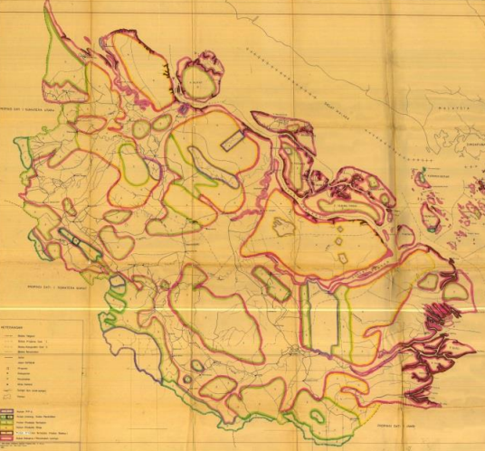
A 2016-2017 collaboration that consolidated 67 geospatial datasets, prepared metadata and applied a forest-area analysis method in Siak and Pelalawan.
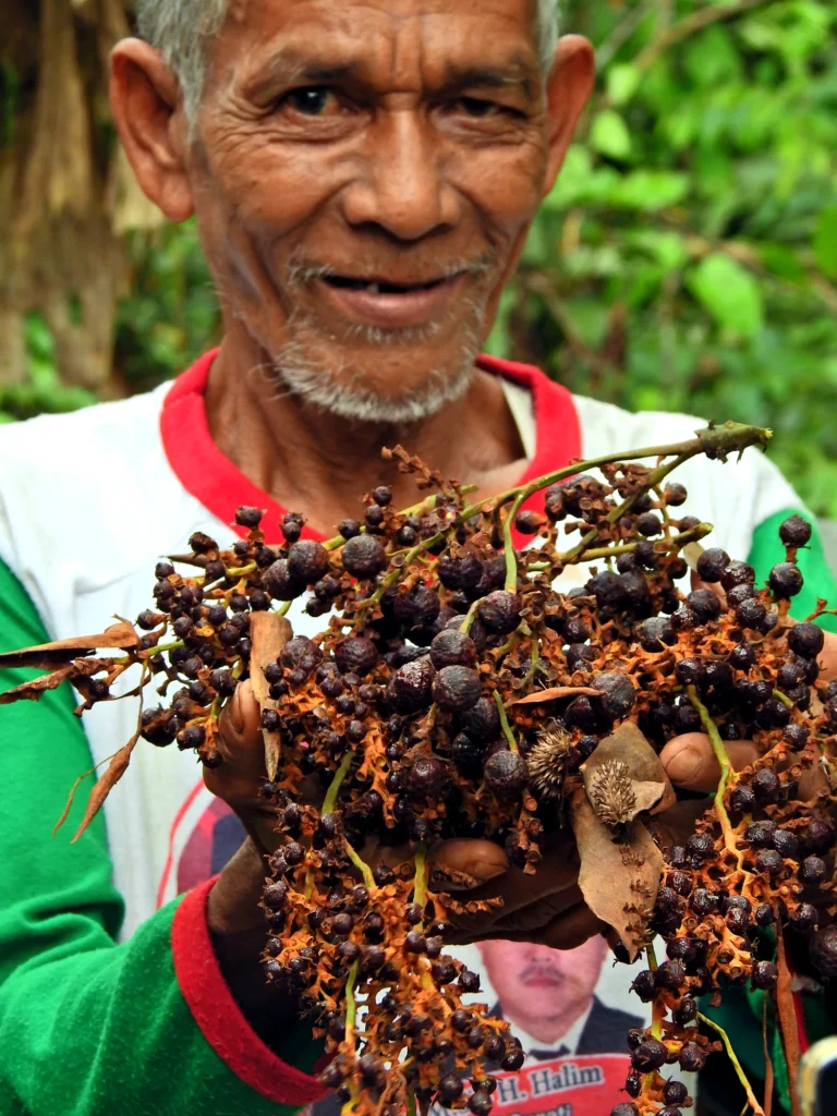
Community mapping, forest-management support and jernang-based livelihood development with groups in Bukit Batabuh, Singingi.