completed participatory planning processes
Land Rights, Mapping and Local Governance
Participatory Land Use Planning across Riau and West Sumatra
Participatory land-use planning in six locations across Riau and West Sumatra, combining community knowledge with spatial analysis and locally discussed development priorities.
Project overview
Project Overview
Hutanriau implemented a Participatory Land Use Planning package across six villages or nagari in Riau and West Sumatra.
The project combined spatial analysis, community facilitation, participatory mapping, land-use conflict identification, wildlife-route evidence, and community land-use proposals to support more informed and inclusive landscape planning.
Project snapshot
At a glance
Riau and West Sumatra
included in the assignment
prepared with maps, analysis and proposed land-use directions
Why this work mattered
Project Context
The wider RIMBA programme supported landscape management across areas connecting conservation landscapes in Riau, Jambi, and West Sumatra. Hutanriau’s direct implementation package focused on six villages or nagari in Riau and West Sumatra.
Communities and local governments required clearer spatial evidence to understand existing land use, community priorities, land-use conflicts, ecological considerations, and future development options.
Participatory Land Use Planning provided a structured process for combining geospatial information with community knowledge. The process enabled local stakeholders to identify current land uses, discuss competing interests, recognise important ecological areas, and develop proposals for future land management.
The project was implemented in Kasang and Seberang Cengar in Kuantan Singingi, Timpeh and Taratak Tinggi in Dharmasraya, and Kamang and Aia Amo in Sijunjung.
What we set out to do
Objectives
- Develop participatory land-use evidence for six villages or nagari in Riau and West Sumatra.
- Strengthen community and local stakeholder capacity to understand and apply Participatory Land Use Planning.
- Document existing land use, community priorities, spatial issues, and land-use conflicts.
- Identify critical wildlife routes and other ecological considerations relevant to land-use planning.
- Prepare community-informed land-use proposals and draft agreements for future landscape management.
- Strengthen dialogue between communities, village or nagari governments, and relevant institutions.
Delivery
What Hutanriau Did
- Collected and analysed spatial and secondary data for the six project locations.
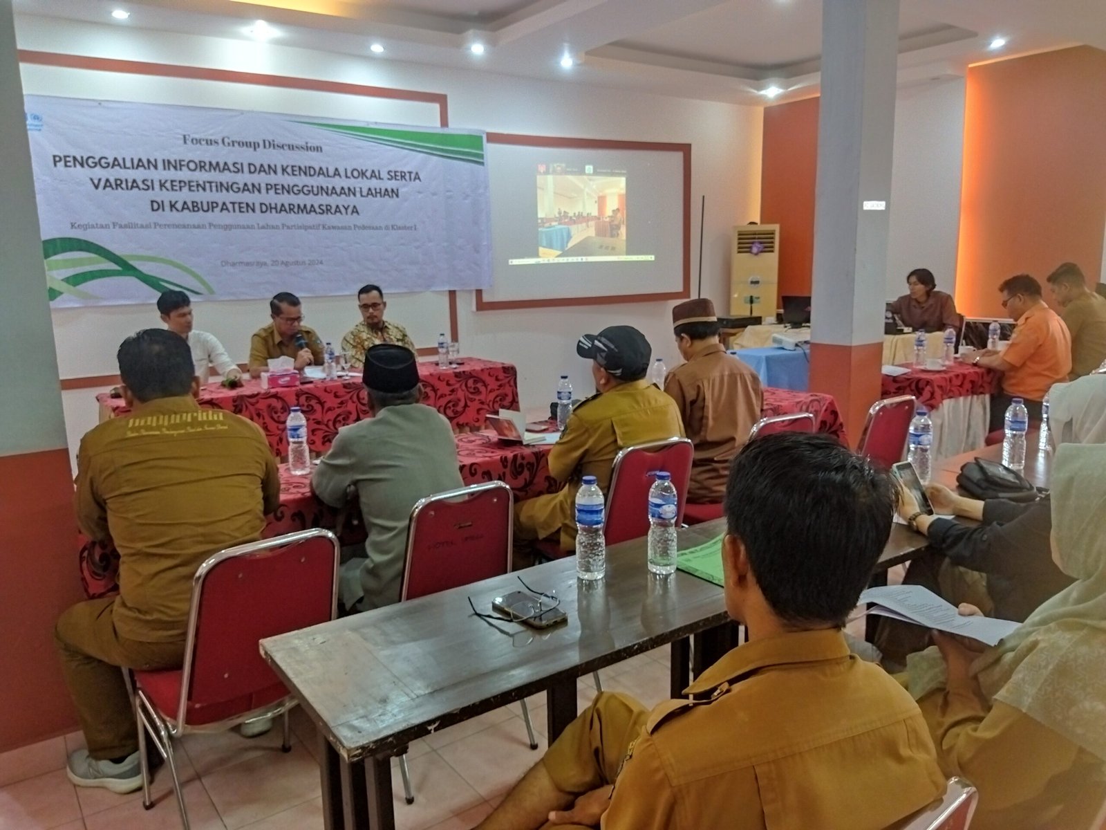
- Conducted PLUP training and capacity-building activities.
- Facilitated community discussions on land use, priorities, risks, and future development.
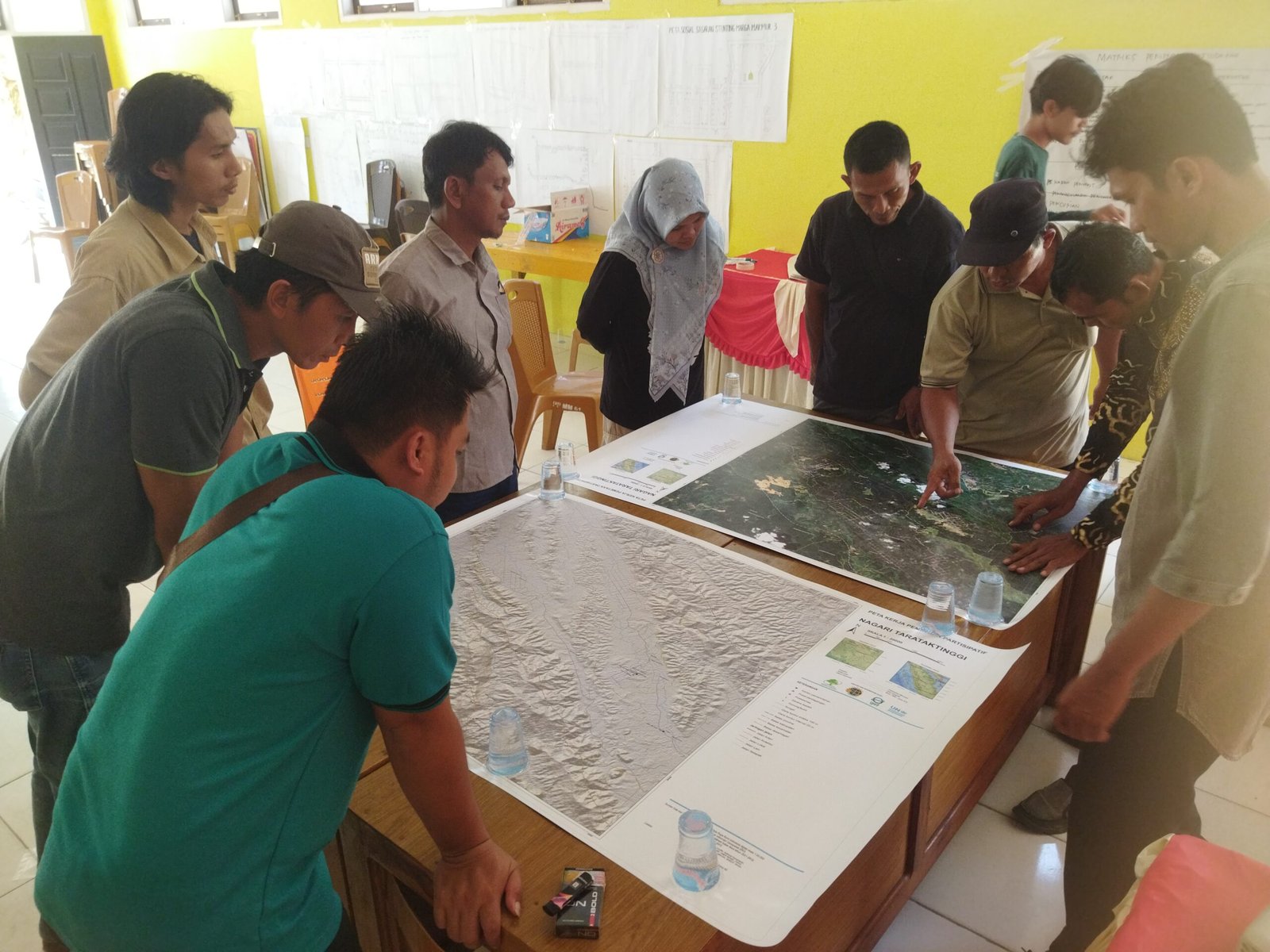
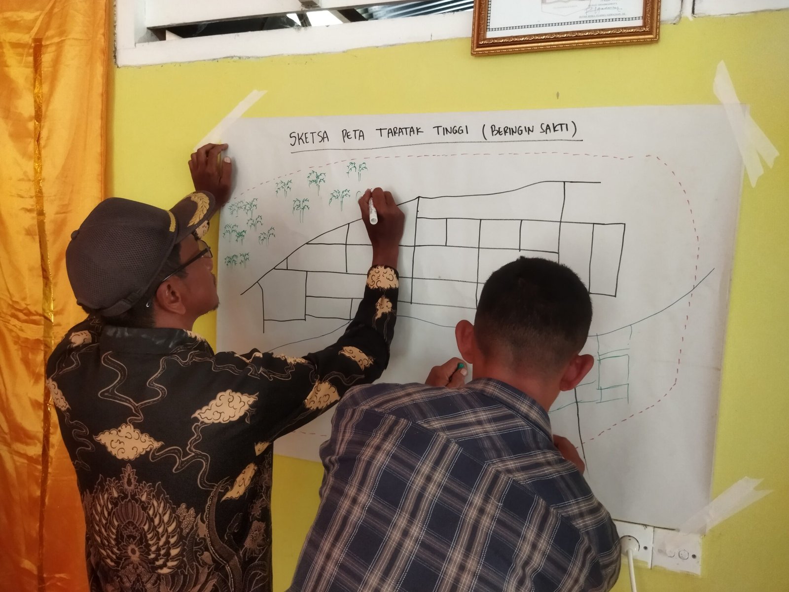
- Implemented participatory mapping of existing land use and community-managed areas.
- Conducted field validation and collection of supporting spatial information.
- Analysed land-use issues and conflicts.
- Identified critical wildlife routes and ecological considerations.
- Prepared maps, spatial analyses, and proposed land-use directions.
- Facilitated the preparation of draft land-use agreements and recommendations.
What changed and what we learned
Results and Learning
Participatory mapping connected technical spatial information with community knowledge, existing land uses and local priorities. The process gave communities and local stakeholders a shared basis for discussing competing uses, ecological considerations and future land-management options.
For each location, Hutanriau prepared maps, analysis, identified issues and proposed land-use directions. These packages support continued dialogue and planning; they are not legal determinations of boundaries or proof that the proposals were formally adopted.
Project album
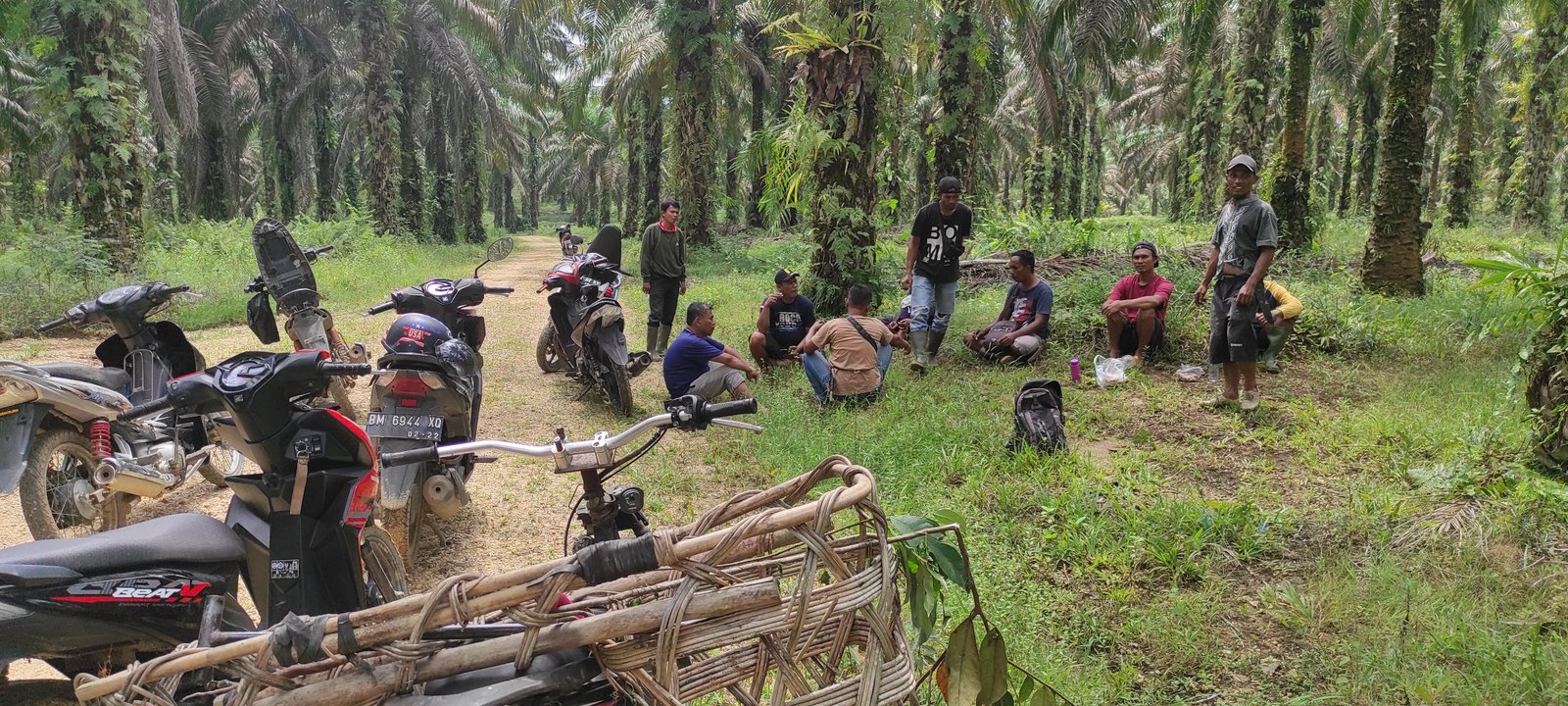
Field Documentation
Selected photographs documenting project activities, field implementation, and community participation.
Work with us
Planning locally grounded environmental work in Riau?
Hutanriau collaborates with communities, donors, government agencies, research institutions, civil society organisations, and responsible private-sector partners.