Outputs
- ~900 hectares of community-managed land supported through overlapping initiatives
- 550 hectares documented through detailed mapping
- 350 hectares documented through indicative mapping
- 30 hectares used for jernang cultivation during the documented period
Why This Project Mattered
Project context
The landscape faced pressure from fire, illegal logging, conversion to plantations, water stress, declining non-timber forest products, and limited legal recognition of community management. Jernang, a forest rattan valued for its resin, provided a practical entry point for connecting livelihoods with the protection of forest cover.
Objectives
- Strengthen community groups involved in forest and non-timber forest product management.
- Document community-managed areas and support discussion of legal access and Social Forestry.
- Develop jernang as a livelihood option compatible with maintaining forest cover.
What Hutanriau Did
- Facilitated participatory and indicative mapping of community-managed areas.
- Supported forest farmer groups, jernang cultivation, and peer learning.
- Facilitated discussions on legal access, Social Forestry, documentation, and lessons from implementation.
Early Outcomes
A forest-compatible livelihood can strengthen the case for keeping forest standing
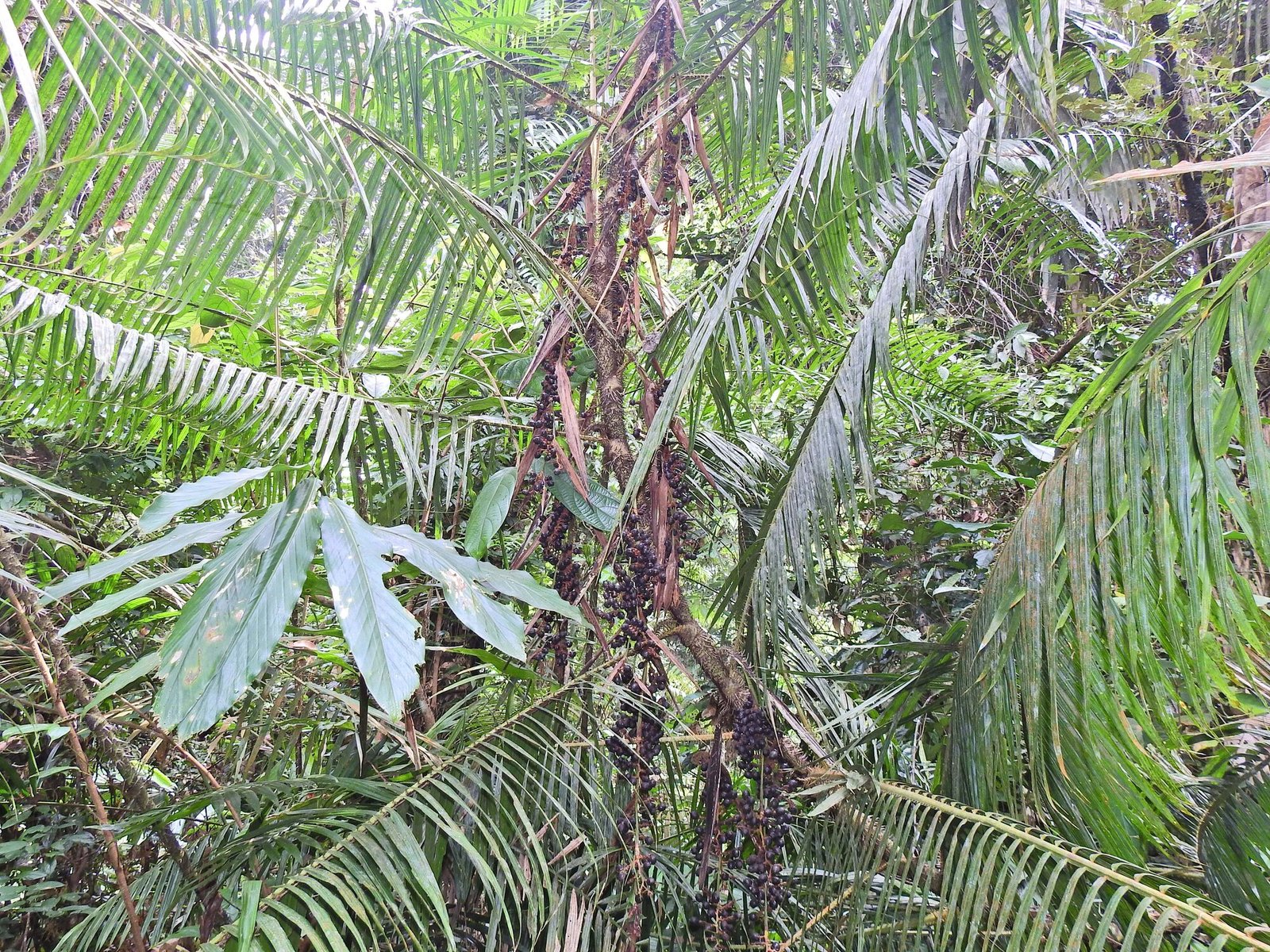
The initiatives documented approximately 550 hectares through detailed mapping and a further 350 hectares through indicative mapping. Around 30 hectares were used for jernang cultivation during the documented period. Because jernang grows beneath forest cover, it offers a practical example of how a non-timber forest product can support both livelihoods and community interest in maintaining forest conditions. This is a strategic lesson, not proof that all forest threats were eliminated.
Limits of the Evidence
Evidence boundary
The RRI and SAVE Wildlife records cover overlapping areas and activities. The approximately 900 hectares refers to community-managed land supported through the initiatives, not land directly managed by Hutanriau. Group figures are historical and should not be read as current membership.
Project Album
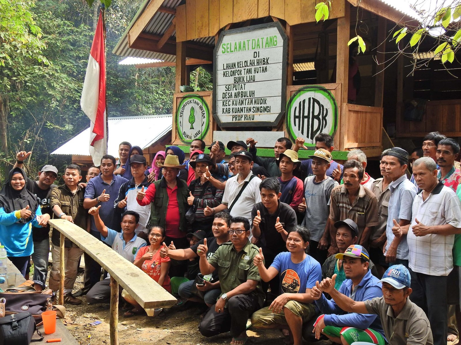
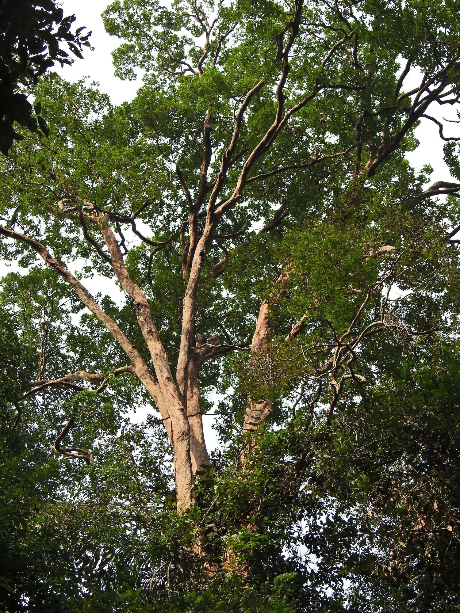
Photographs document the community group, jernang under forest cover, and the Bukit Betabuh landscape during the initiative.